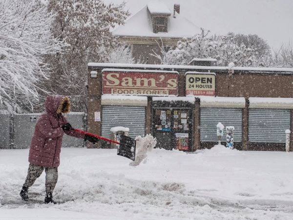
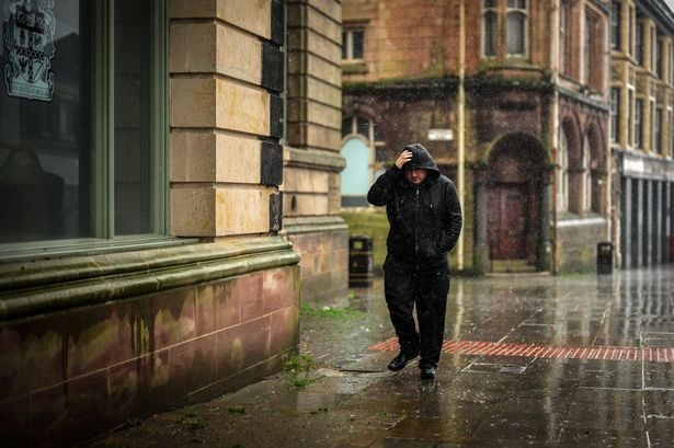
An Arctic blast caused a sudden change in British temperatures and brought winter. Up to 26C downfall in temperature has been seen in the latest cold weather maps from WFX CHARTS.
As per the provider’s user data from MetDesk, Scotland and Northern Ireland could see colderatures of just 1c, Thursday 12 September. Manchester and Wales have also seen similar low temperatures 1c and 3c.

In the south, London and Norwich also could see lower tower temperatures between 5c-6c, indicating a change as per the temperature last Friday, September 5.
The WXCCharts predicts that the weather is little in regions while the south sees heavy rainfall with potential thunderstorms.
The heavy showers with snow could be at higher elevations in Scotland. In the last few days, different parts of England have had over a month’s rain.

Shawbury in Shropshire had and one and half time average rainfall alone in the first week of September. On the eighth day, it accumulated 96mm (4in) of rain compared to an average of 65mm (2.5in). There are also 3000 lightinging strikers seen in the South eat England on Sunday with flash flooding.
Matthew Lenhernt, the Met Office Chief Meteorologist declared the signs of the ‘repeated” rainfall had led the forecasters to issue a yellow weather warning.
He also told the Daily Mirror: “Repeated areas of rain are likely to affect southern Britain over the next few days, generating some localised impacts into the weekend.
“We currently have a yellow weather warning for rain in place, and there’s potential for further warning this weekend.
“It’s a different story further north, though, as high pressure brings warmer and sunnier conditions, with higher than average temperatures, particularly across parts of western Scotland. Eastern areas are likely to be cooler and, at times, cloudier due to winds blowing off the North Sea.”

Strong north-westerly winds will accompany the cold air and lead to daytime highs between 9-14c and night-time lows, potentially 3-6c, and ground frost can be seen in some rural areas.
Conditions are forecast to remain unsettled next week; the temperature, which has seen a noticeable drop from Tuesday, will stay through Friday and can continue till next week.
The remaining bad weather could lead to disruptions in transport and daily activities. R in and strong winds may delay or cancel flights and public transport. Due to recent thunderstorms, flights in Gatwick have already been cancelled.
Although the weather conditions will change by Friday and into the weekend, there will be a change in wind towards south-westerly. The wind will bring more seasonal average temperatures around 16c -20c in mid-September.


