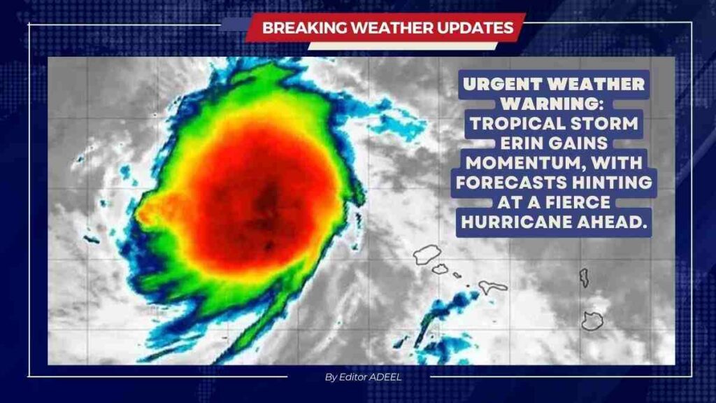
Tropical Storm Erin formed on August 11, 2025, in the eastern Atlantic Ocean. It currently has sustained winds of about 45 mph and is moving west at around 20 mph. This storm is the fifth named storm of the 2025 Atlantic hurricane season and is forecast to strengthen in the coming days.
Experts say Erin could become the first hurricane of the season by around Wednesday or Thursday. There is a chance it might intensify quickly and grow into a major hurricane- a Category 3 or higher storm with winds over 110 mph by the weekend.
Erin is now travelling westward across a part of the Atlantic known as the “main development area.” This region stretches from near the west coast of Africa to the Caribbean and is where many Atlantic storms gain strength due to warm ocean waters.
Currently, the storm is located west-northwest of the Cabo Verde Islands, about 280 to 430 miles away. These islands have already felt Erin’s early effects, such as heavy rain and flooding. A state of emergency has been declared on some islands, like São Vicente and Santo Antão, due to damage and casualties from the storm’s early impact.
As Erin moves westward, it is expected to pass north of the Caribbean islands by the weekend. This means it may miss direct impact on those islands but could still have rough seas, squalls and indirect rain impacts.
Areas such as Bermuda, the Bahamas and the U.S. East Coast from North Carolina to New England will need to keep an eye on the storm. Even if Erin does not hit the U.S. coast directly, it could bring tropical storm conditions, heavy rain and high surf to coastal areas.
There are no watches or warnings in place for the U.S. or Caribbean yet. However, meteorologists warn it is still too early to be certain about Erin’s exact path. The storm’s future track depends on shifting high-pressure systems in the Atlantic. Models show some uncertainty whether Erin will curve northward away from land or move closer toward populated areas.
Forecasters advise residents in storm-prone regions to stay alert and prepare for possible changes. Emergency plans, including evacuation routes, should be reviewed, and supplies like water, food and first aid should be ready. Coastal areas should be cautious of rough seas and rip currents, even if the storm stays offshore.
The 2025 Atlantic hurricane season is expected to be above normal, with NOAA forecasting 13-18 named storms. Of these, 5 to 9 could become hurricanes, and 2 to 5 may grow into major hurricanes. Etin is setting the tone for what could be an active and possibly intense season.
Although Tropical Storm Erin has formed far out in the Atlantic, but has the potential to rapidly strengthen. It is moving west toward the Caribbean and the U.S. East Coast. While direct land impact is uncertain, the storm will be closely watched as it could bring dangerous weather to coastal regions later this week and beyond.
- News
- Business
- Marketing
- Tech & Innovation
- Finance
- HR and Payroll Advice
- Lifestyle
- Directory
- Agencies
- Automotive
- Beauty & Personal Care
- Clinic
- Entertainment and Leisure
- Event Services
- Finance
- Fitness & Physical Activity
- Food and Drink
- Health & Wellness
- Home & Living Services
- Legal Services
- Lifestyle
- PR and Marketing
- Real Estate and Property Services
- Services
- Shopping and Retail
- Shops
- Travel & Adventure


